


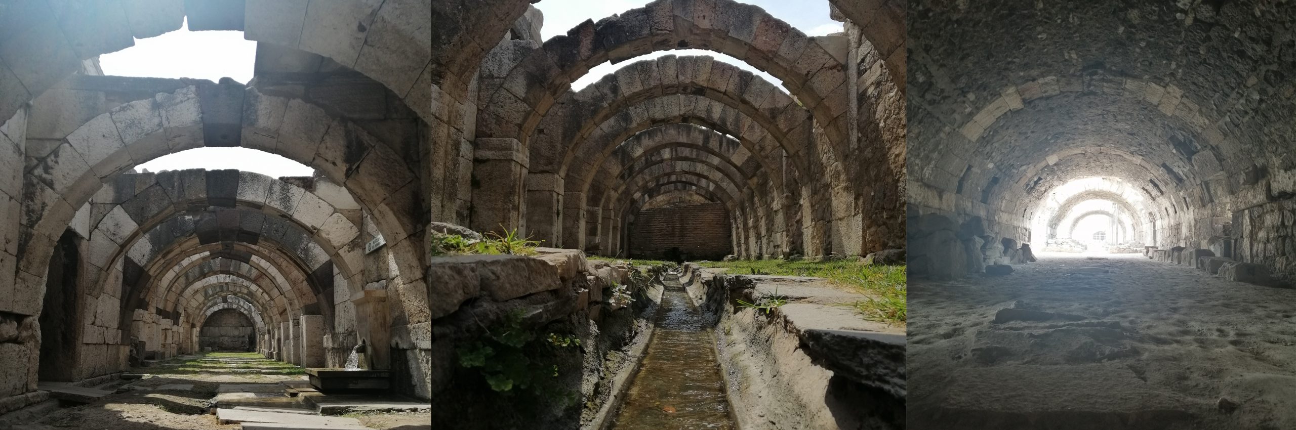
Development of a Research Project with İzmir Case: Interpretation of Settlement Pattern Change in Turkey*
Abstract
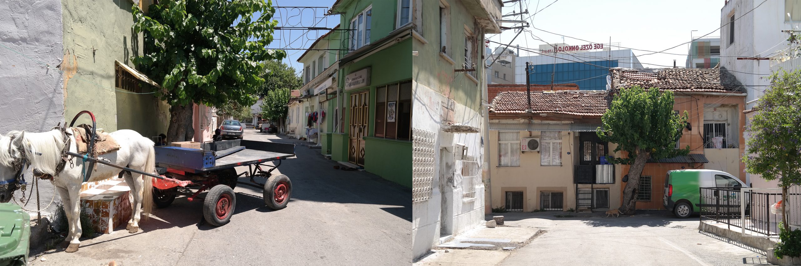
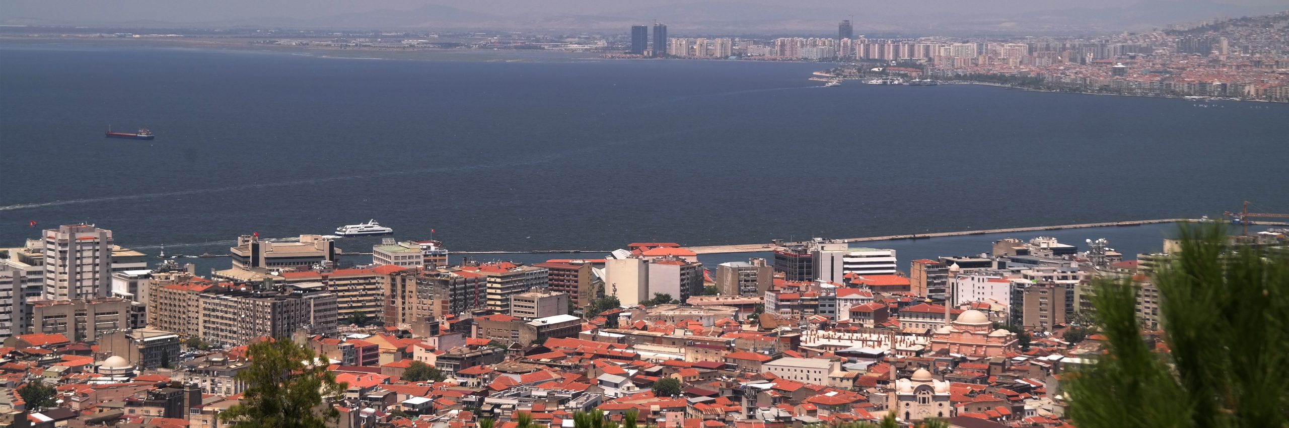
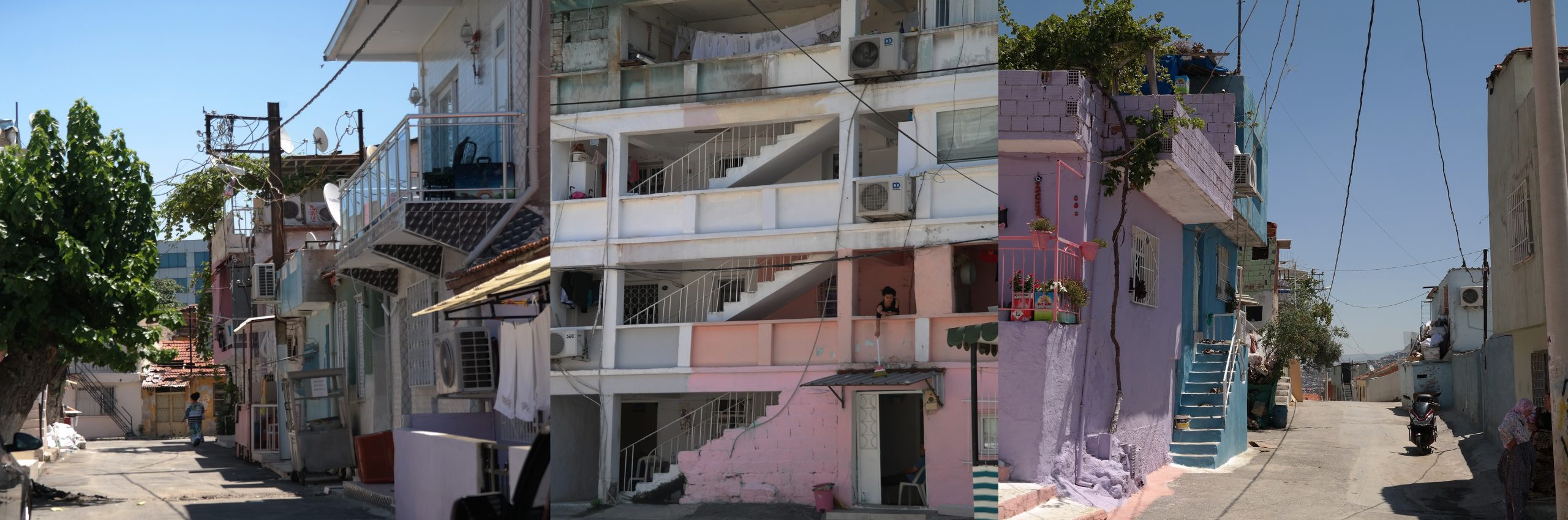
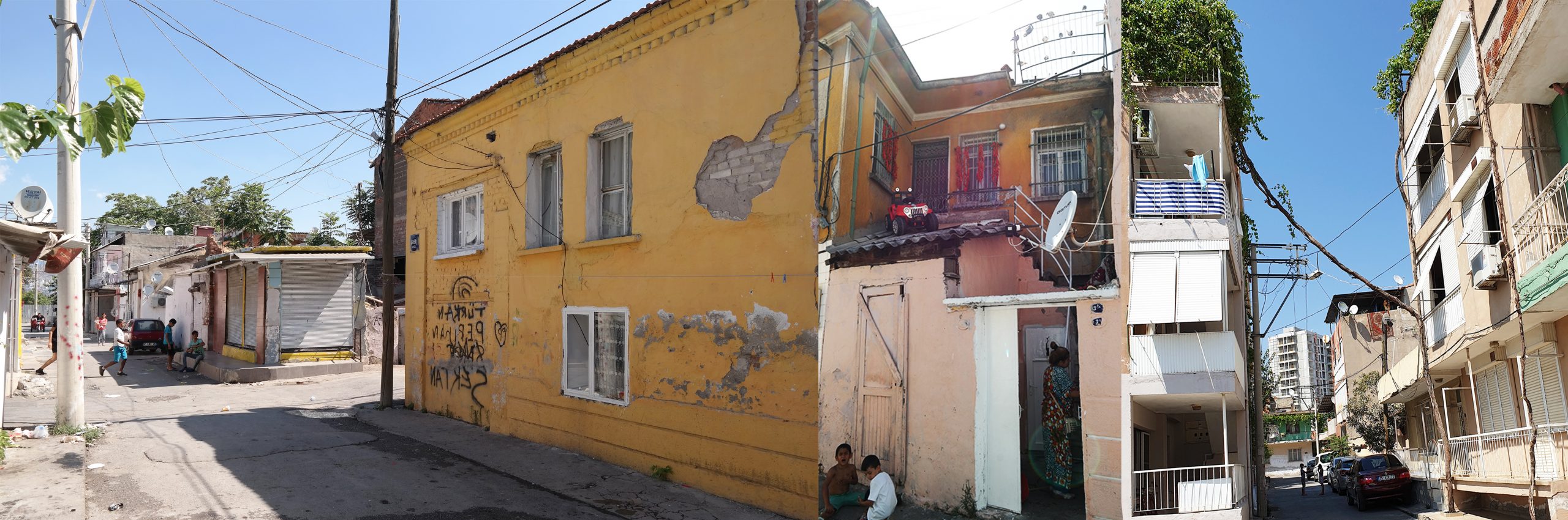
After the 1980s, the settlement pattern of Turkey has transformed under the effects of globalization and technological advance as well as economic, social and demographic changes. In this transformation main urban divides like metropolitan-city/edge-city, urban/rural, city-center/urban-fringe are becoming less clear and losing their original significance. This new melded landscape re-characterizes the relationships between human and space. Settlements are no longer well defined entities with clear-cut boundaries, but rather they are urban networks at various sizes, densities and functions. In fact, the city sizes and their bounded regions were used to define the functional, governmental and administrative order. However, the flows of people, materials, and energy have changed the geography of regions and emerged new spatial units in the hierarchy of cities and towns.
This paper presents the framework of a research project, designed under a collaboration of academy and local government. Within the scope of the 1003 R&D Program in 2017, TÜBİTAK [The Scientific and Technological Research Council of Turkey] announced an urbanization call, ‘1003-SBB-KENT Settlement Pattern Transformation in Turkey’. Our project, titled as ‘Interpretation of Settlement Pattern Changes in Turkey via İzmir Case’ was approved to be supported. This project was proposed to investigate the evolution of settlements in order to determine the main factors of spatial changes and redefine the settlement pattern of Turkey. In this paper, the general framework and methodology of the project will be discussed. Three main themes [urban environment/ infrastructure, urban transportation/ public transit, and urban renewal/ transformation] will be explained within the context of the theory presented below. The following theoretical views and approaches will be evaluated in relation to İzmir metropolitan area.
The evolution of settlements and spatial changes: Settlements evolve by continually adapting and developing themselves to find a balance in the system where diversity, specialization, interaction and complexity have been increased. This dynamism, on the one hand, differentiates settlements from each other or sharpens their distinctions. On the other hand, some settlements are constantly expanding their hinterland and leading to a new spatial pattern that removes the urban-rural divide under the tendency of homogeneity. Global city of Sassen [2001], global city-regions of Hall and Scott [2001] and multi-centered region of Parr [2005] are some examples that aim to capture this dynamism within different views. Planning approaches: The planning institution we call urban and regional planning, spatial planning or regional development has remained in between stability and dynamism for almost 100 years [Healey, 2007]. In traditional physical planning, Chapin [1965] tried to explain this dilemma between land use and infrastructure corridors. In the 1990s, this dilemma or contradiction between the stability and dynamism was explicitly emphasized by Castells [1996] and the space of flows was mentioned. The view is that networks are not just concerned with complex socio-spatial relations but networks and patterns are overlapping and nesting while determining everything in time and space. The intensity of the flows on the global network defines the space, giving new insights into the agglomeration economies. The endogenous, context-dependent, real time-space creates a place which is constantly changing. Accepting this continous change means that the space is ‘n’ dimensioned and that perfect computation and consequently control are not possible. That is to accept the foreground of the local knowledge instead of deterministic scientific knowledge [Tekeli, 2010].
Complexity theory and a different view in planning: In the 21st Century, settlements are no longer explained by basic production and consumption relations [e.g. Economic Basic Theory] or a few variables [e.g. population, employment]. The research and theoretical frameworks developed so far and concepts are unsatisfying to explain the changes or dynamism in the space. This approach related to settlements and planning practices can no longer be developed in the same direction; it is obvious that cities can not be planned by absolute and long-term decisions based on standards. Instead of trying to explain settlements in terms of basic variables, a variety of research studies are increasingly accumulated in order to determine the dynamism in the settlement pattern for examples see A Planner’s Encounter with Complexity, [De Roo and Silva, 2010] and Complexity and Planning: Systems, Assemblages and Simulations, [De Roo et al., 2012].
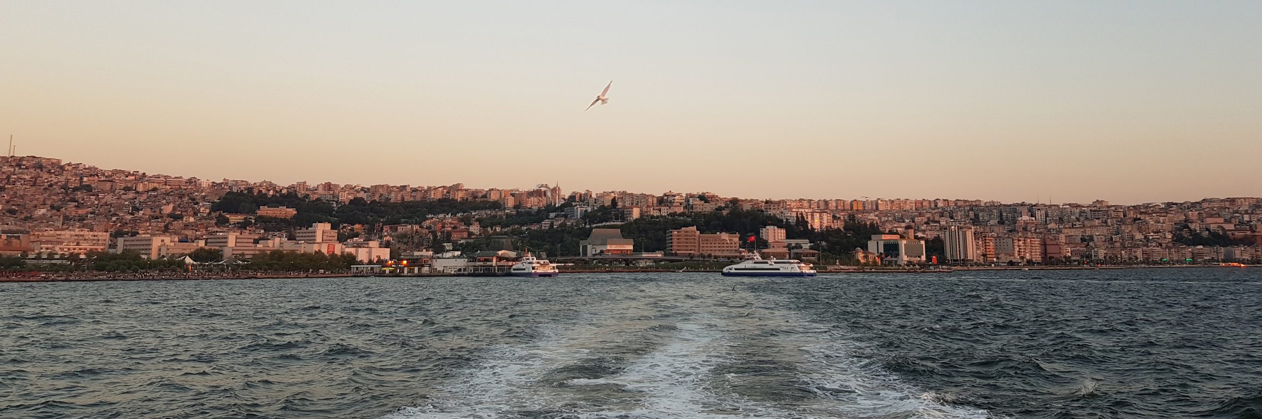
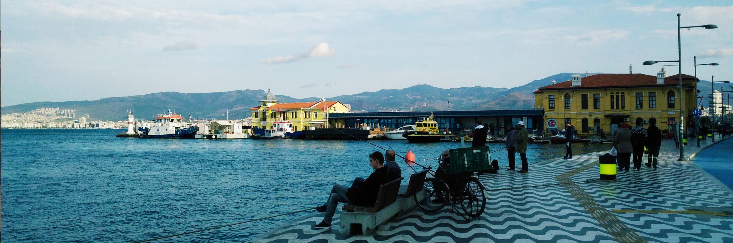
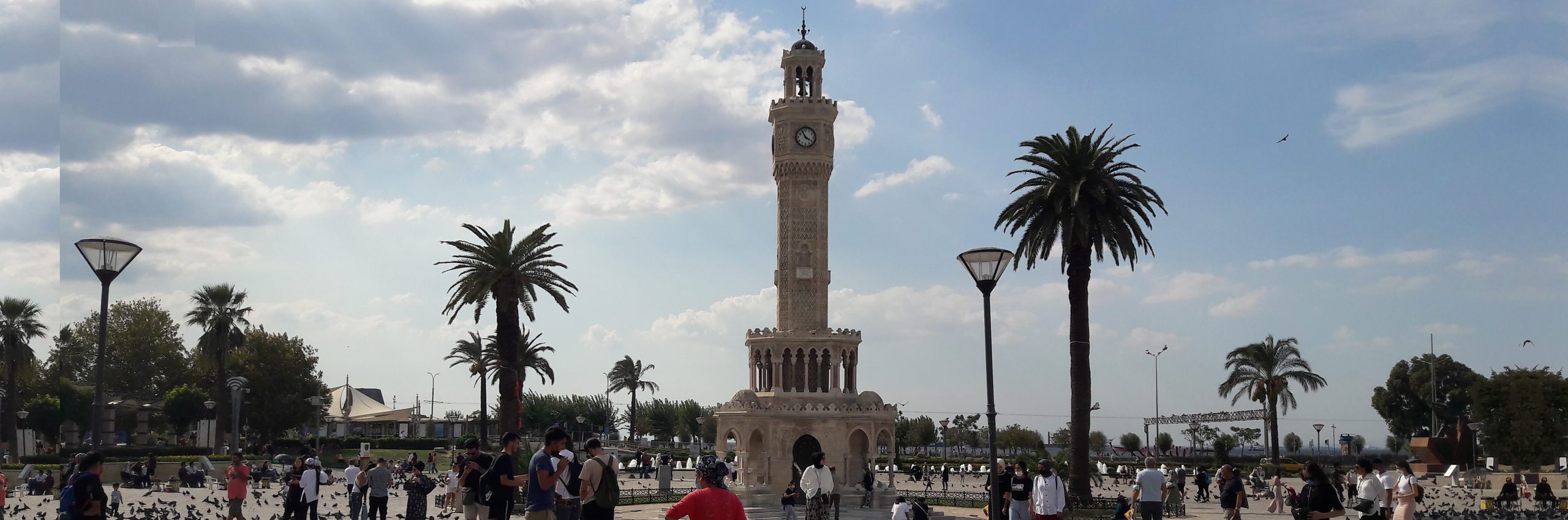
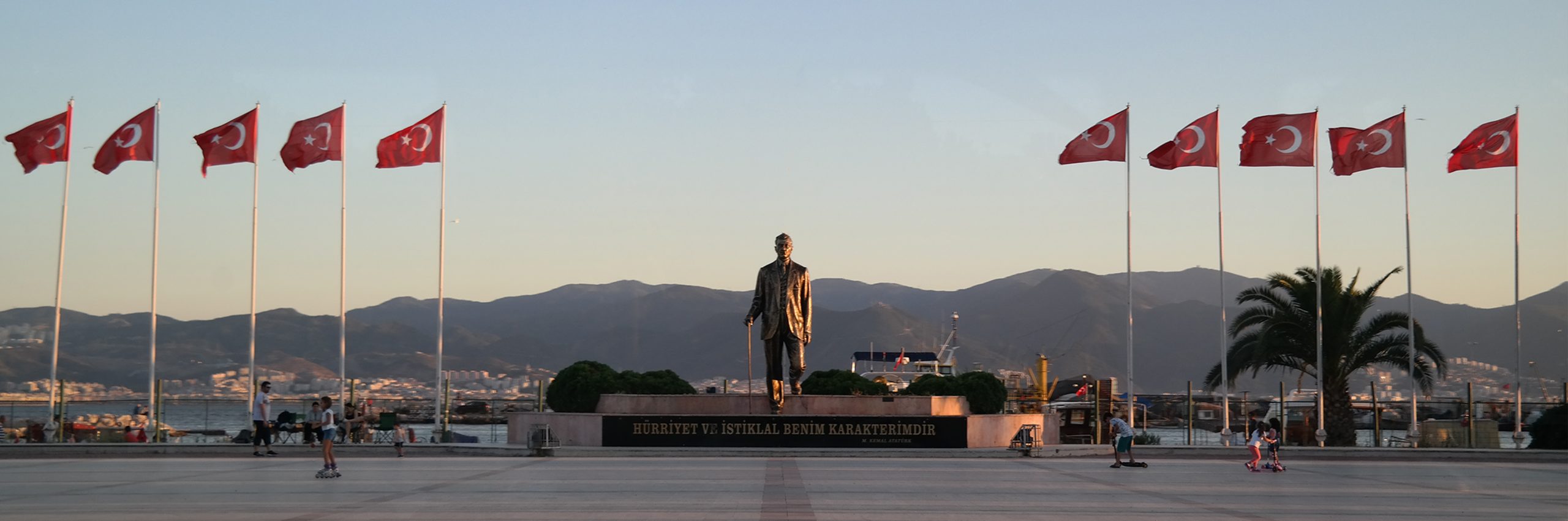
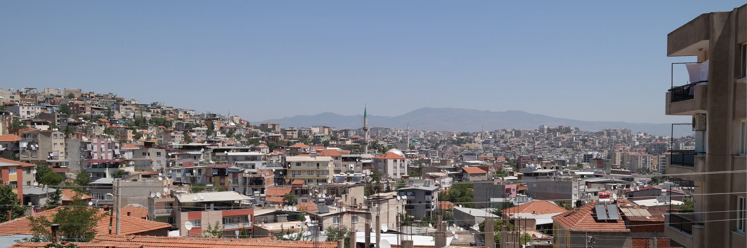
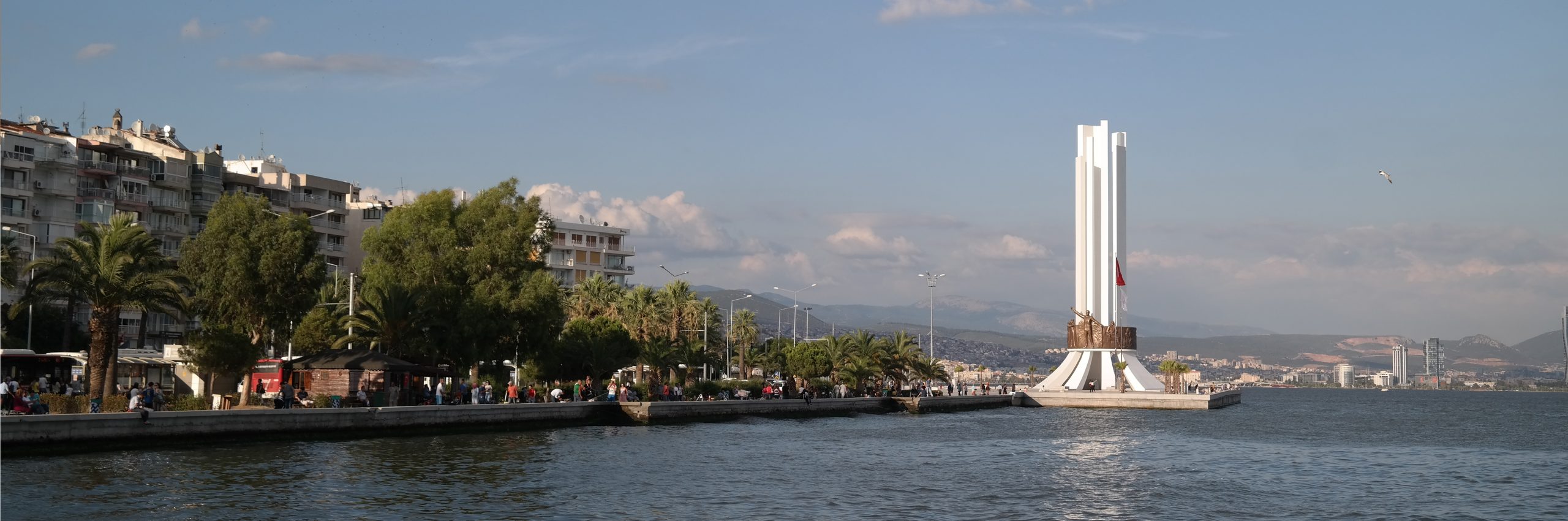
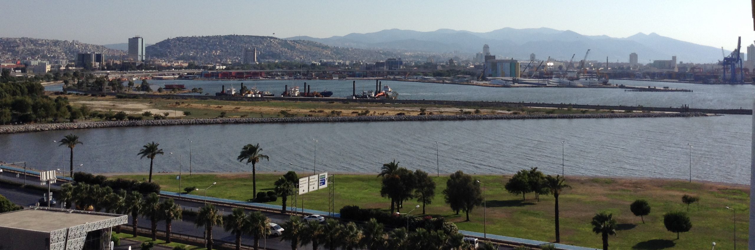
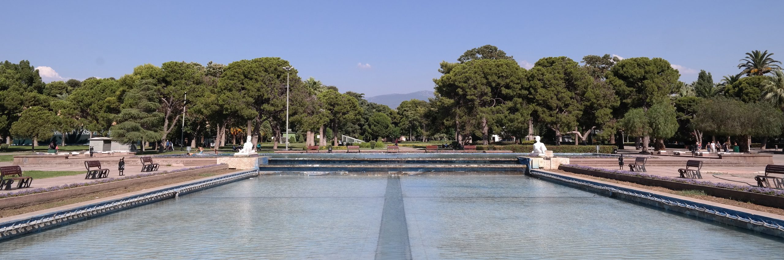
Within this theoretical approach, the general framework and main themes of the project, which is carried out jointly with İzmir Metropolitan Municipality, will be given in this article. In addition, the methodology including the three basic stages of the research will be summarized and the results from the first stage, designed to understand the settlements, will be tried to be conveyed.