

Interpretation of Settlement Pattern Changes in Turkey: The Case of İzmir*
Project Abstract
After the 1980s, settlement pattern of Turkey has transformed under the effects of globalization, technological advance and economic, social and demographic changes. In this transformation, main dichotomies like metropolitan-city/edge-city, urban/rural, city-center/urban-fringe are becoming less clear and losing their original significance. This new melded landscape re-characterizes the relationships between human and space. Settlements are no longer well-defined entities with clear-cut boundaries, but rather they are urban networks with various sizes, densities, and functions. In fact, the city sizes and their bounded regions were used to define functional, governmental and administrative order. However, the flows of people, materials, and energy have changed the geography of regions, and consequently new spatial units emerged in the hierarchy of cities and towns. A low-tier settlement in terms of its population size and employment rates might have economic, social or cultural capacity to specialize in an industry and become an education, production or technology center at international level. Having said above, this project investigates evolution of settlements to determine the main factors of spatial changes and redefine the settlement pattern of Turkey.
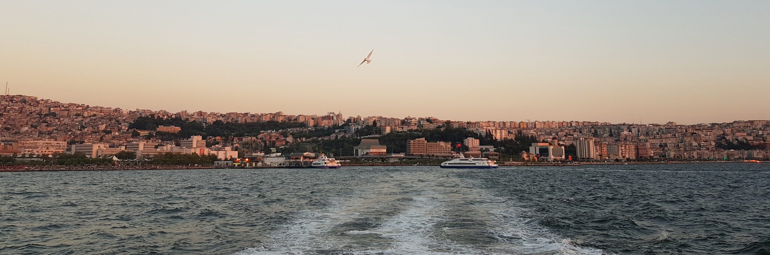
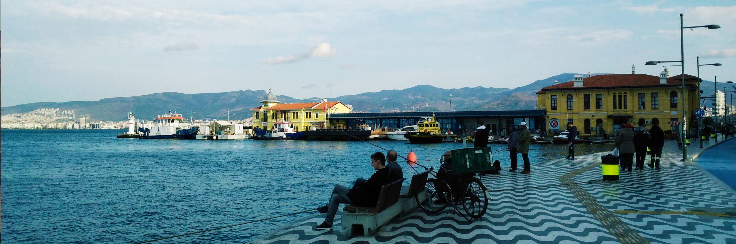
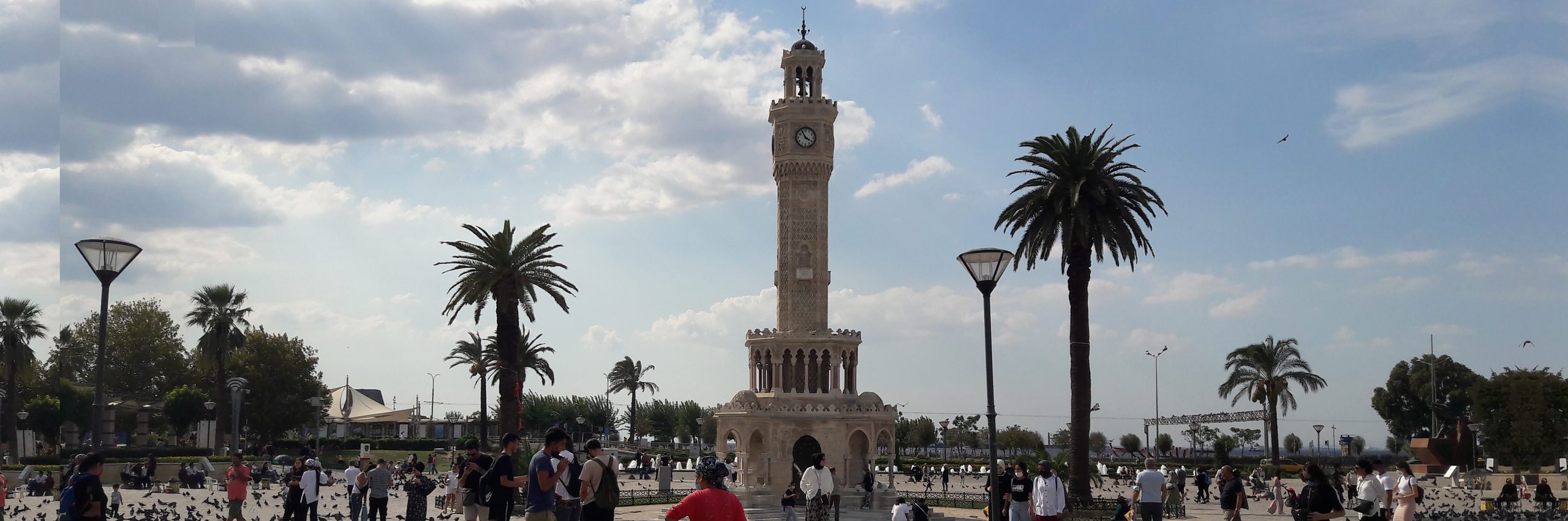
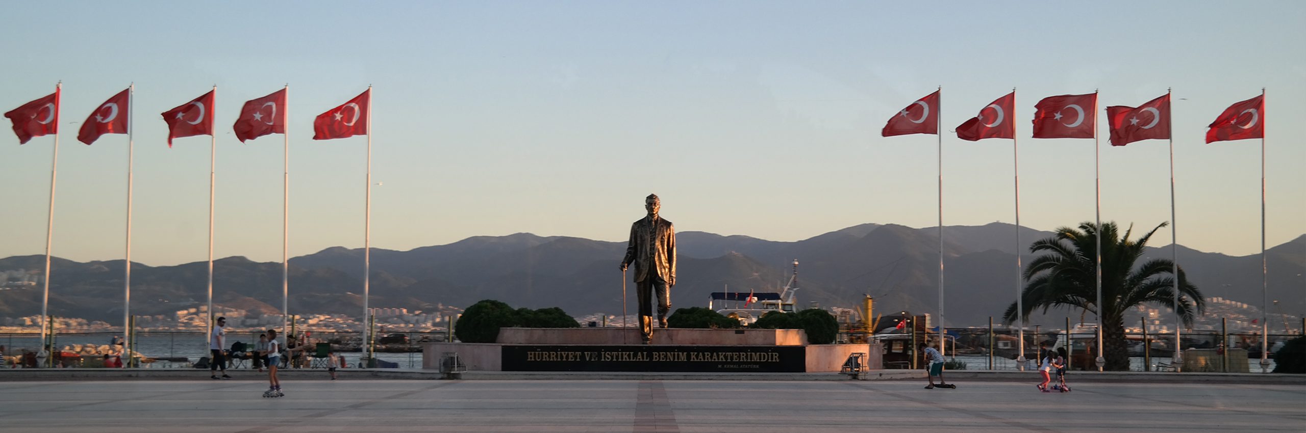
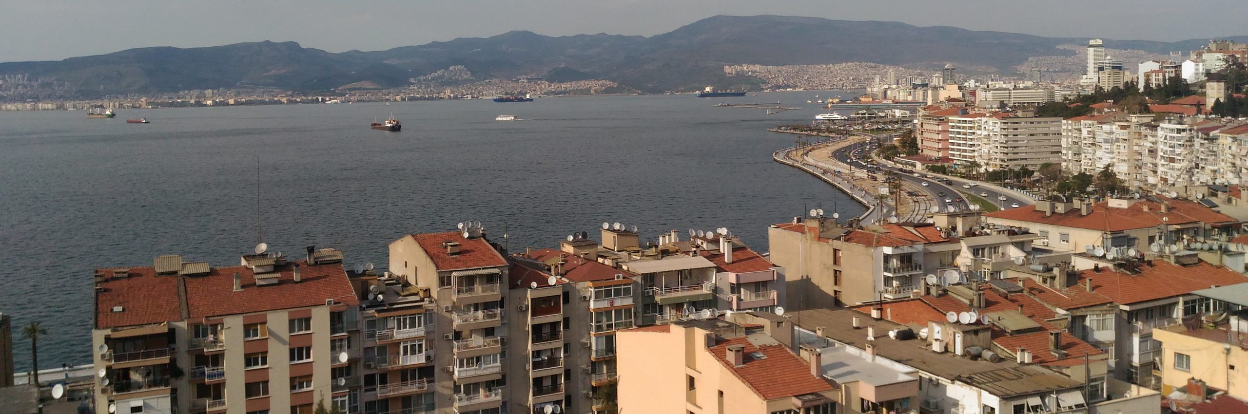
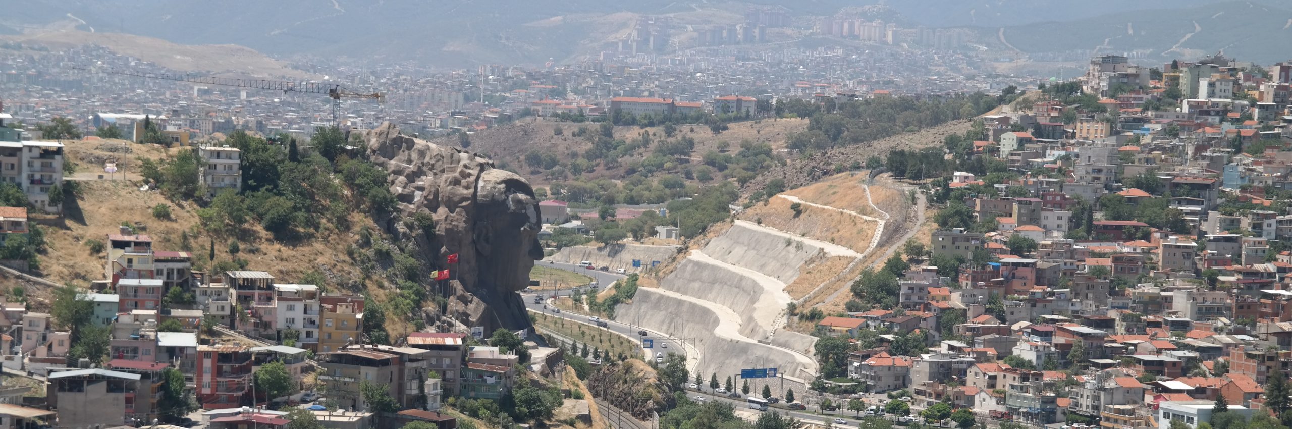
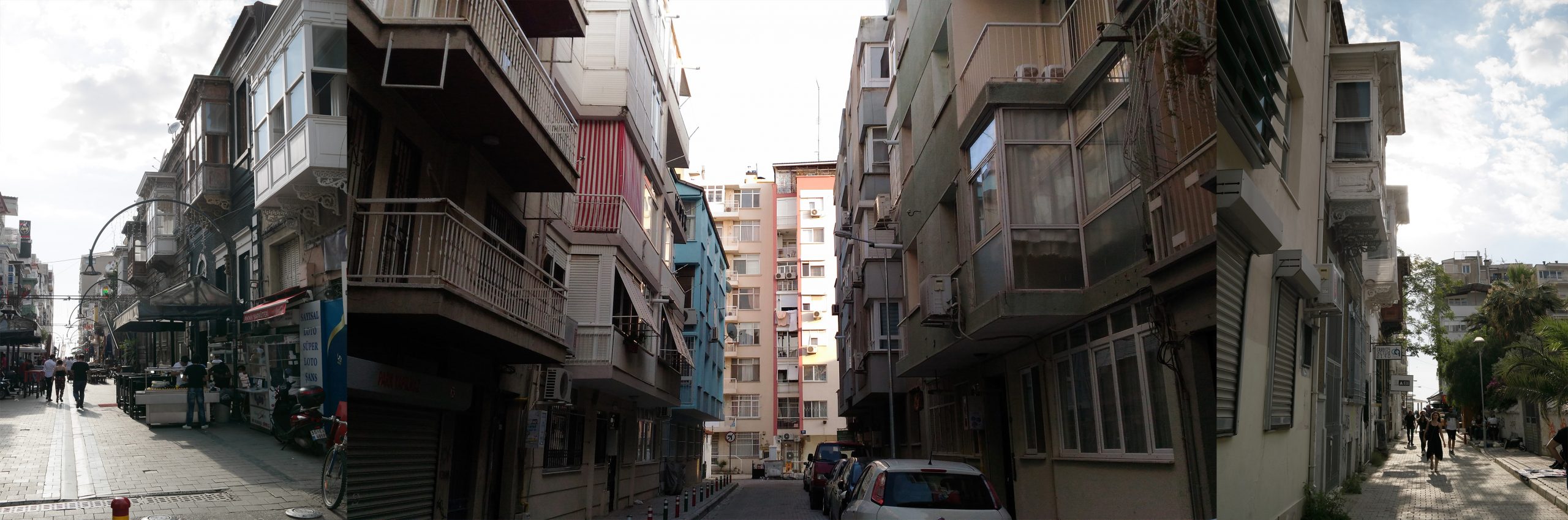
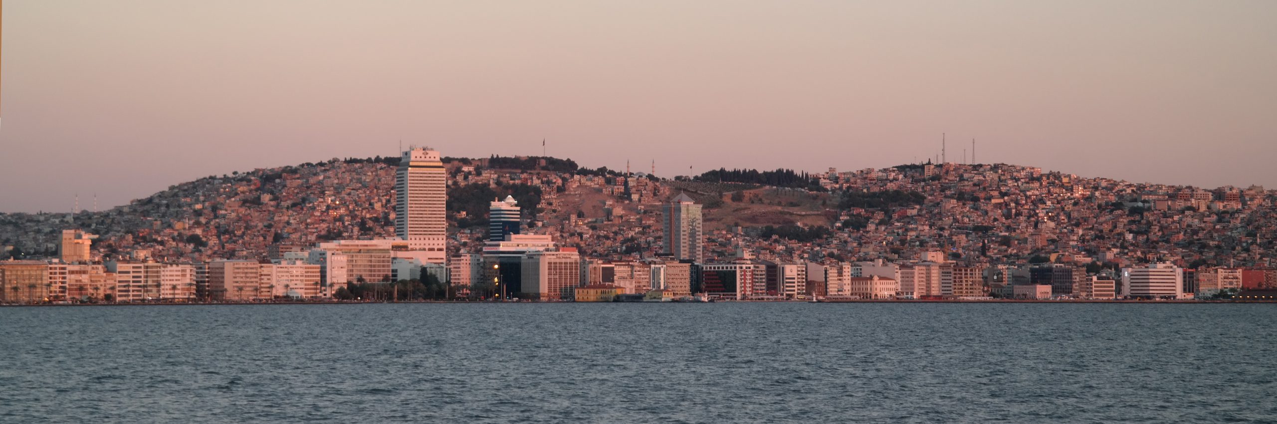
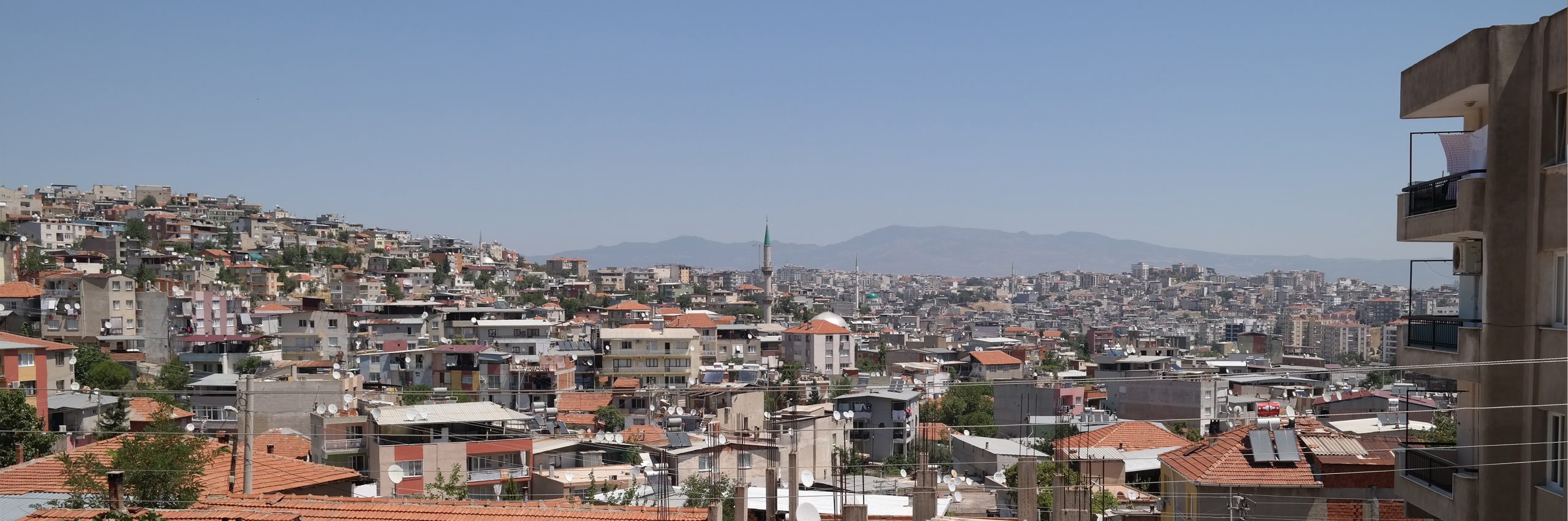
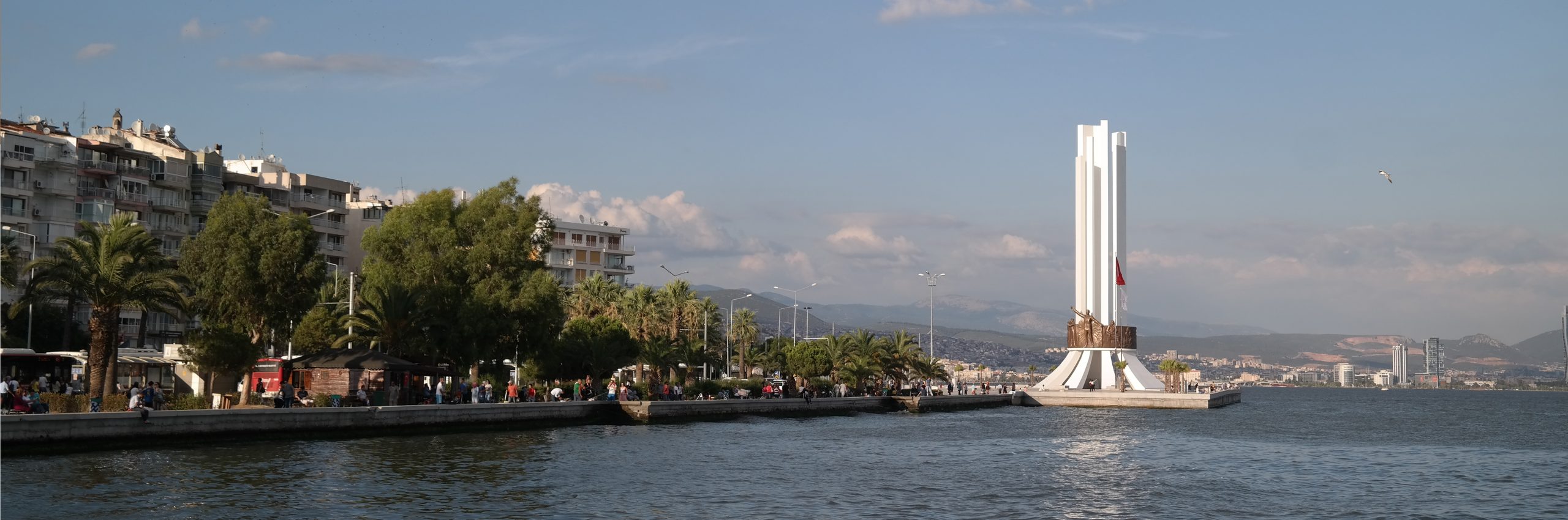
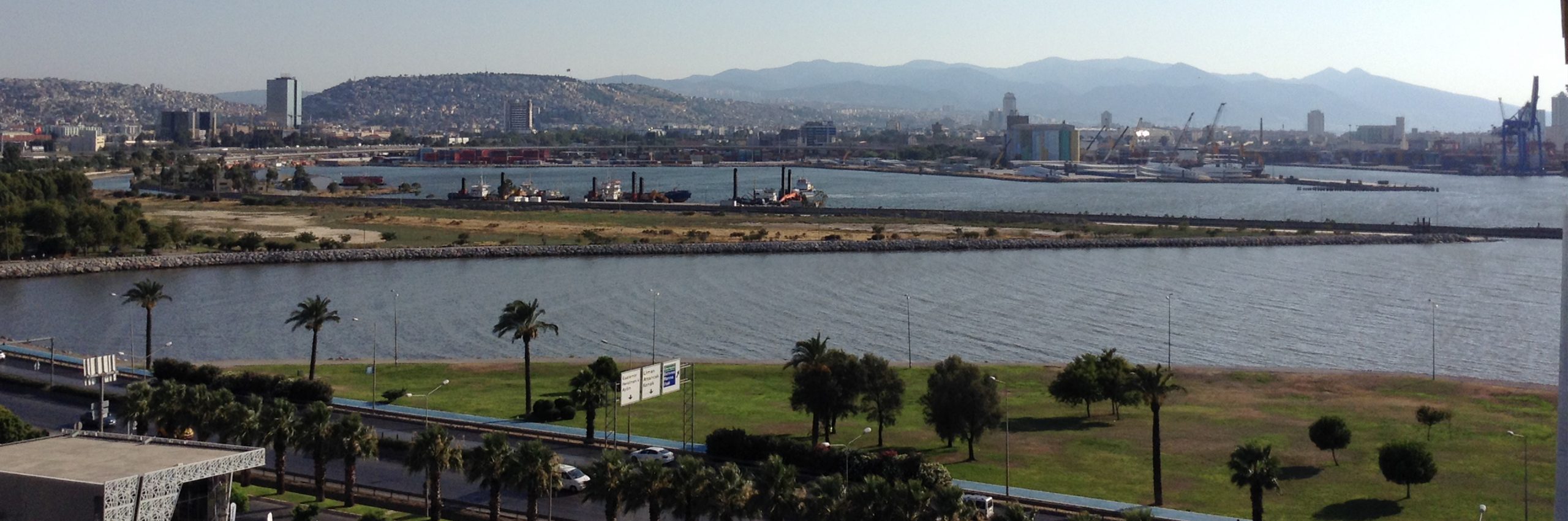
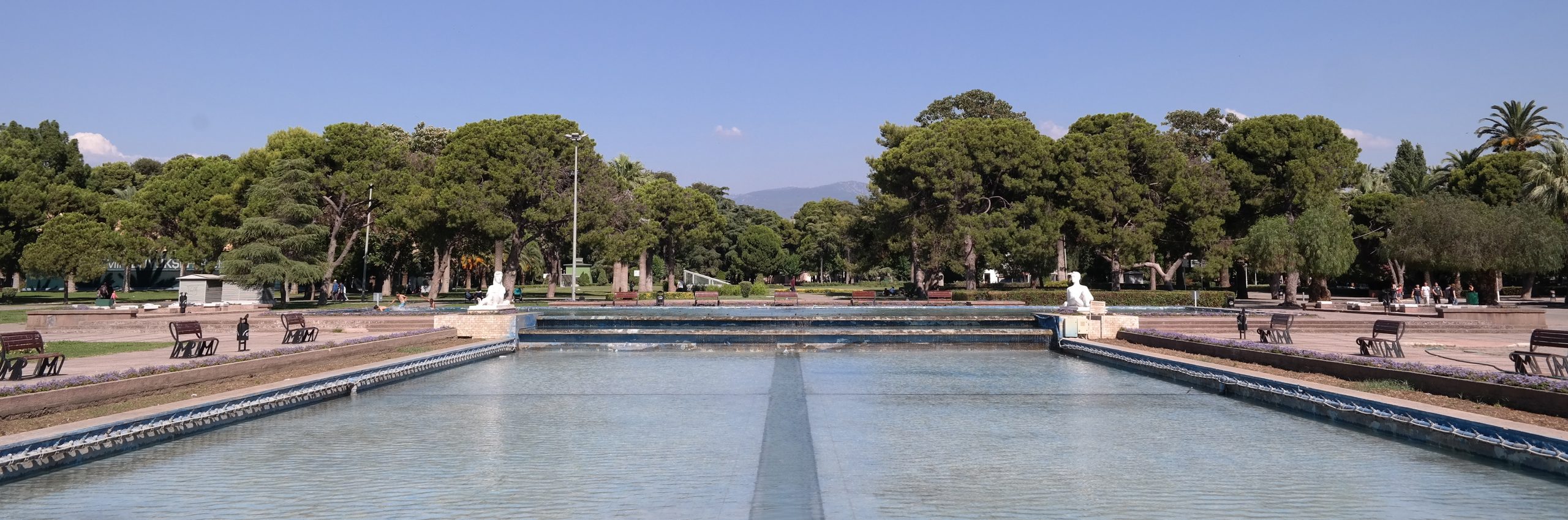
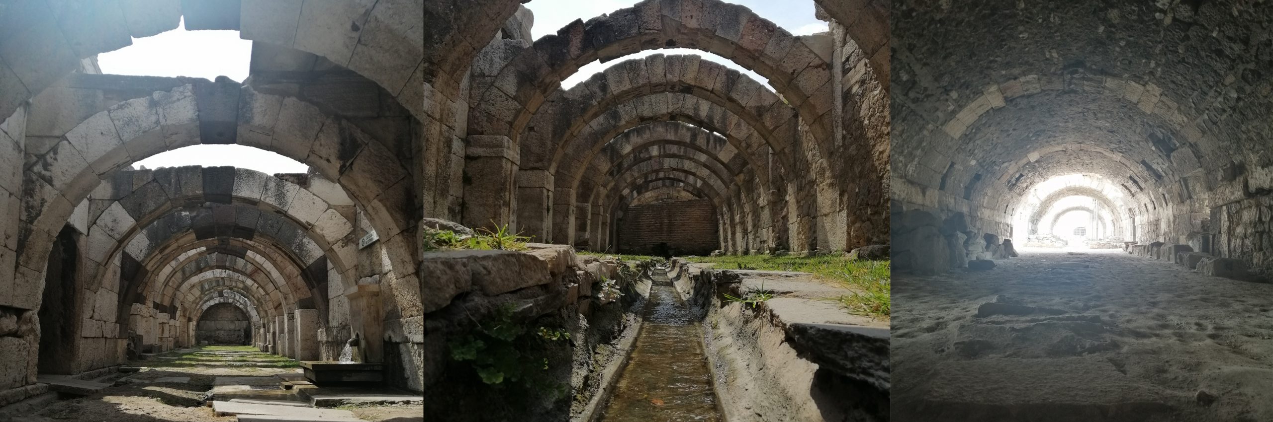
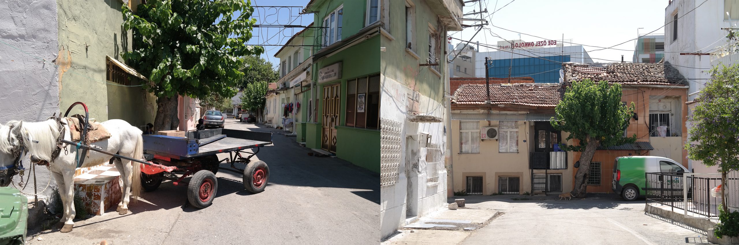
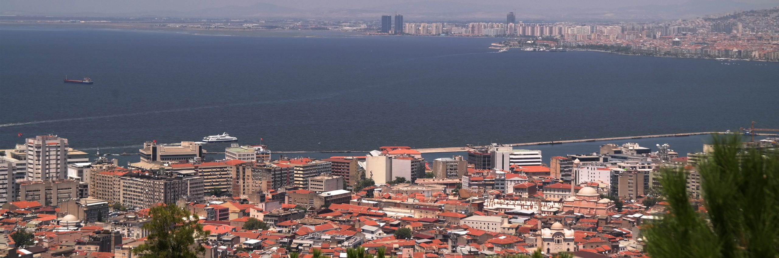
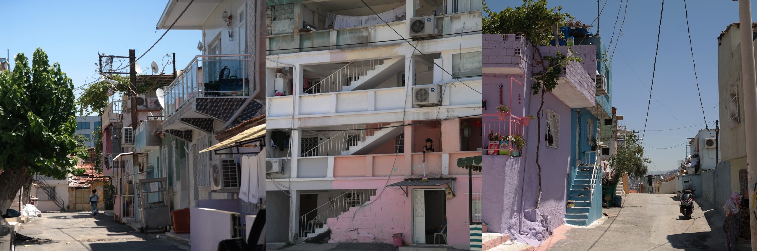
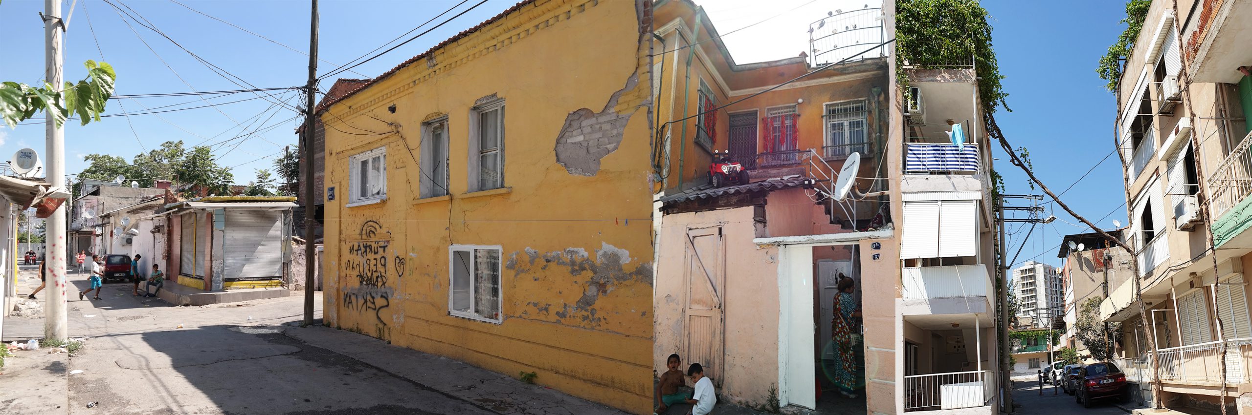
Today, regions which were spatially defined by administrative boundaries are replaced by networked regions where boundaries are defined by interactions of diverse actors and their networks, as well as by fluid regions that represent fluid and dynamic complex of diverse relations and interactions (Amin et al. 2000). In this new setting, traditional top-to-down government of fixed bounded regions evolves into governmentality (Foucault, 2004) and (meta-) governance functioning on a horizontal level (Jessop, 2009). Diverging from regulations and spatial plans, spatial tools transform into spatial strategies and agreements, even projects, management models and brands (Jauhiainen, 2014). Exemplifying the three types of regions (i.e., bounded region, networked region, and fluid region) within its geography, Izmir is a perfect case to investigate the changes in settlement pattern of Turkey. In the project, Izmir metropolitan area and its urban region are studied with respect to five different themes (urban environment, urban infrastructure, rural environment, urban transportation and urban transformation), within the context of their corresponding spatial concepts, fluid region, networks, local collaborations, mobility, planning and governance, respectively, are discussed.
The emergence of settlements, their growth, even their demise are linked to simple reasons or explained by fewer variables in the past. Today, settlements are assumed as dynamic, non-linear and open systems which are continuously evolving, causing unexpected states. In other words, they are self-organized complex systems. Thus, theoretical framework, concepts, research used to explain settlements falls short of explaining settlements anymore. Why do some of the settlements grow but others disappear? Why do urban services consistently give way to new distribution, conveyance and storage points? Why do some transportation links strengthen relationships between settlements which form new development corridors but leave others unattached? are good examples of questions unanswered. Increase in the number of academic studies, which are trying to explain settlement patterns by complexity science from the 1990s, is not only a coincidence (Batty, 2005; Portugali, 2011; Portugali et al. 2012). Therefore, in this project, the change in the spatial structure and pattern of Turkey will be studied from a different perspective by using concepts, analysis techniques, and urban models of complexity theory.
Researches and studies based on complexity theory try to understand settlements instead of explaining them. The factors and potentials of settlements continuously produce new centers, development zones, and transformation areas, urban processes such as degeneration, gentrification, diversification and self-destruction of diversification. To explore main factors of these changes, the first task is to understand urban processes. Based on this theoretical approach, three basic research stages are planned in this project. The first stage is designed to understand settlements while the second stage is to find out emergences, clues/outliers during their change or transformation processes. At the third stage, to explore underlying patterns of change and transformation in these settlements, different emergences found in different themes are synthesized, assembled. As a practical application of a multi-disciplinary scientific approach, this project makes assumptions and produce hypotheses based on complexity theory and attempts to transform complexity from a theory in planning into theory of planning.
Focus group meetings, activities like symposium and panels are organized in the project in collaboration with Izmir Metropolitan Municipality. In the meantime, our research team has carried out a multitude of tasks from sharing research results or organizing local participation to data collection, analysis and interpreting results. Local government projects, management models and brands in Izmir metropolitan area and urban region are related to research findings. The ultimate aim is to find out how spatial planning decisions at micro level affect goals and policies at macro level.
*Tübitak 1003-SBB-Kent Türkiye’de Yerleşmeler Sistemindeki Dönüşüm Çağrısı kapsamında hazırlanan ve desteklenmesi uygun bulunan ‘İzmir Örneği ile Türkiye’de Değişen Yerleşme Örüntüsünün Yorumlanması’ başlıklı Projenin (117K824, 117K818 ve 117K825) Başvuru Formu’nda yer alan İngilizce özetidir.